Products / Autonomy AI & Software

Autonomy AI & Software

DZYNE is a market leader in Analytics and Enabling Technologies

Autonomous Flight


SYSTEMS

01 Autonomy02 FUll Motion Video Processing03 Cloud Innovation04 Geospatial data Products
01 Autonomy

DZYNE’s proprietary analytic systems are used to close the loop from the optical sensor to computation to autopilot enabling autonomous behaviors that improve efficiency and decision making.

02 FUll Motion Video Processing

DZYNE’s full motion video processing systems add a fourth dimension to imagery, providing greater context of the nature of the location and events being observed.

03 Cloud Innovation

Cloud innovation solutions allow for the integration of analytics across all of DZYNE’s platforms and systems, enhancing mission reliability and processing capabilities.

04 Geospatial data Products

Capable of providing maps for mobility analysis and landing zones, our geospacial technology leverages overhead satellite imagery to classify land cover and vegetation type and landform analysis to infer soil type, terrain properties, obstacles and weather effects.

STATISTIC /001

50,000TB

Processed

STATISTIC /002

2 sq km/sec

3D Models from Satellite

STATISTIC /003

0.5m-1.5m

Modeling Accuracy

Autonomy

FMV Processing

Cloud Innovation

Geospatial Data Products

Autonomy

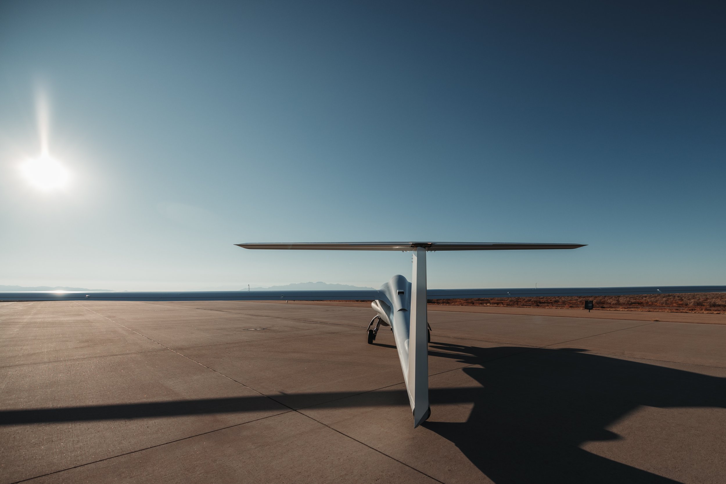
Making autonomous aircraft intelligent DZYNE’s proprietary analytic systems are used to close the loop from the optical sensor to computation to autopilot enabling autonomous behaviors that improve efficiency and decision making


CAPABILITIES


Robopilot

Control point

Our software and AI works both for the aircraft and for the person

 
Dzynetech Logo

01


Acceleration

Our software powers the UAS we develop which lets them operate independently, including with intuitive point-and-click functions (ie - no pilots needed!)


02


Autonomy

Our software powers human operators to make decisions at machine speed. THIS is what Matrix, and the other tools do.

Radars

Advanced Analytics


MATRIX


Intelligence Flight Operations with Geospacial Augmented Reality

MATRIX provides pilots with deep contextual understanding of flight environments while enabling advanced levels of autonomy.

MATRIX projects geospatial layers into the FMV feeds of MQ-1C, LEAP/ULTRA and Group 2+ UAS platforms that have commonly available EO/ IR payloads. With Matrix, the Payload Operator no longer needs to reference Google Earth to achieve and maintain geospatial orientation, which will increase intelligence gathering efficiency and reduce workload.


Artificial Intelligence

Free up your team’s time and empower decisions with
machine-speed insights.


STATEMENT A Approved for public release. Distribution is unlimited. This statement may be used only on unclassified technical documents that have been cleared for public release by competent authority in accordance with DoD Directive 5230.9. Technical documents resulting from contracted fundamental research efforts will normally be assigned Distribution Statement A, except for those rare and exceptional circumstances where there is a high likelihood of disclosing performance characteristics of military systems, or of manufacturing technologies that are unique and critical to Defense, and agreement on this situation has been recorded in the contract or grant. Technical documents with this statement may be made available or sold to the public and foreign nationals, companies, and governments, including adversary governments, and may be exported. This statement may not be used on technical documents that formerly were classified unless such documents are cleared for public release in accordance with DoD Directive 5230.9. This statement shall not be used on classified technical documents or documents containing export-controlled technical data as provided in DoD Directive 5230.25.